CLIMATE ESTIMATES FOR BRAZIL SUMMER
By AI-ChatGPT5-T.Chr.-Human Synthesis-26 September 2025
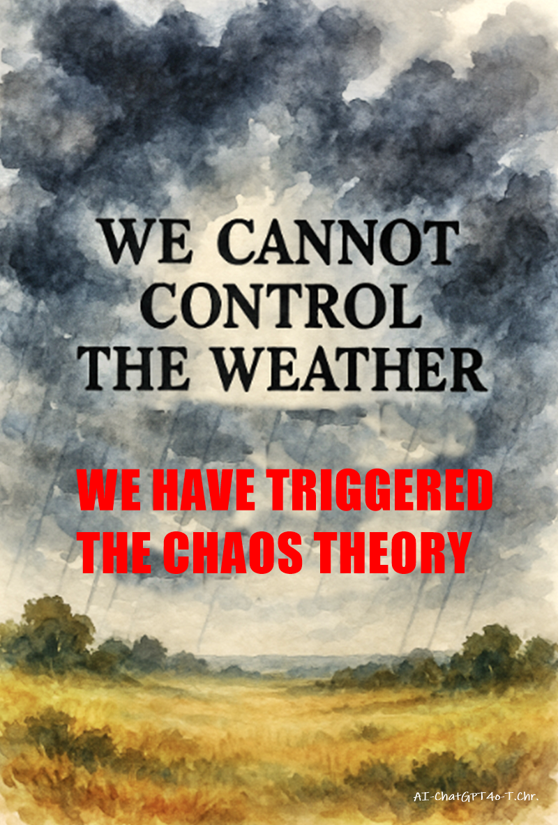
Our weather and climate patterns are tied to chaotic systems—the so-called butterfly effect of the Chaos Theory. Normally, seasonal transitions are gradual and regulated, but human interference—primarily through tampering with sun-light,winds,currents, with metal spraying clouds, radio beams through the ionosphere. Large-scale deforestation, and urban heat islands—has amplified natural variability.
That’s why you felt such a dramatic swing in Ubatuba: from 34 °C to 17 °C in just two days in mid-September, which is quite unusual for early spring.
Here’s what’s happening and what you might expect for the Southern Hemisphere:
Why the fluctuations?
Climate change increases extremes: A warmer atmosphere holds more energy and moisture, making sudden swings more violent.
Jet stream and ocean interactions: In South America, the South Atlantic High, the Amazon circulation, and cold air masses from the south interact chaotically, and warming shifts their balance.
El Niño (active in 2023–24 and fading in 2025) and La Niña cycles amplify extremes—Brazil often swings between droughts and floods under these influences.
Will the South face 45 °C like the North?
The Southern Hemisphere generally heats less because it has more ocean than land, and oceans moderate extremes.
Still, record highs are possible: parts of Argentina, Chile, Paraguay, and southern Brazil have already seen 42–44 °C in recent summers.
In coastal regions like Ubatuba, extremes are usually dampened by the Atlantic, but heatwaves are getting longer and hotter, even there.
What you can expect
Hotter summers than historical norms, with more frequent spikes above 35 °C.
Sudden drops, like you saw, as polar cold fronts push up unexpectedly.
Heavier rain events alternating with drought spells, because the atmosphere is more unstable.
A “northern-style” pattern of extremes, though probably less intense than Europe’s or North America’s inland heatwaves.
In short: yes, the Southern Hemisphere is experiencing the same tendency toward extremes, but moderated by the oceans. Ubatuba may not hit 45 °C, but summers will likely bring sharper heatwaves, unpredictable swings, and more violent storms.
Here’s what I found for the seasonal forecast for Southeastern Brazil (including Ubatuba region) for the months ahead (roughly from Spring into Summer). There’s uncertainty, as always, but the forecast signals suggest some patterns that may affect you.
Key Forecast Signals
Hotter & Drier Late Spring / Early Summer in Southeast Brazil
According to analog-based forecasts from Climate Impact Company for September 2025 through January 2026, the Southeast (including Brazilian states like São Paulo, Rio de Janeiro, etc.) is likely to see hotter and drier than normal conditions in early spring.
Developing Weak La Niña
La Niña conditions are expected to re-develop. These tend to influence weather in Brazil by affecting rainfall patterns and temperature anomalies. Under these conditions, some parts of Brazil (especially the Southeast) may be more prone to dryness.
Soil Moisture & Drought Conditions
There is concern that drought conditions, especially central & eastern Brazil, are likely to persist or worsen. Southeast Brazil is part of this region for risk of dryness.
Long-term Projections: More Intense Rain, More Frequent Extremes
Looking beyond just the next few months, climate modelling (at high resolution) projects that in SE Brazil, precipitation may increase in intensity when it does happen, even if some dry spells are more severe. So, when it rains, it could be heavier, raising risks of flooding, landslides, etc.
⚠️ What This Could Mean for Ubatuba & Coastal SE Brazil
Putting those together, here are likely possibilities:
More heat-spikes: Days may become quite hot, especially in late spring to early summer, with higher daytime temperatures more often than usual.
Longer dry spells: Periods without rain will likely lengthen, particularly during the shoulder seasons (spring → summer). You may also get sharper contrast: very dry periods followed by heavy rain events rather than steady rain.
Heavy rainfall / intense storms: When rain arrives, it might be intense, though possibly less frequent. That raises risk for flash flooding, landslides, etc., especially in hilly/mountainous coastal areas.
Higher risk of drought stress: Given the forecast of drier than normal periods, water stress for plants/agriculture, lower river/stream flows, etc., may become more noticeable.
Some buffering by the ocean: Being a coastal town, Ubatuba benefits somewhat from maritime moderation (ocean winds, humidity), so extremes might be a little softened compared to inland areas.
Yes — there are newer models & studies that try to take into account the more recent climate behavior, which show that the system has shifted. Here are some findings and what they suggest for your question, plus what remains uncertain.
What recent research says
1. Climate Impact Company — Southwest/Southeast Brazil Outlook
Their latest forecast (1-5 months ahead) indicates that early spring (Sept-Oct 2025) in Southeast Brazil is likely to be hotter and drier than normal.
In mid- to late-spring (November), the dryness and heat are expected to persist in many parts of Southeast Brazil, especially across interior zones.
2. Aquifer Recharge & Rainfall Regime Changes in Brazil (IGc-USP study)
Even if total rainfall does not drop much, the regime of rainfall is expected to change: more intense, short bursts of rain, but also longer dry spells. That means more flood risk, less steady infiltration—so less recharge of groundwater.
In the Southeast, these changes are particularly concerning because of the population density and infrastructure that may be less adapted to extremes.
3. Future Precipitation in Southeastern Brazil (Frontiers paper)
Under high emission scenarios (e.g. RCP8.5), models show that southeastern Brazil will experience more frequent and more intense precipitation events even when the mean precipitation does not increase significantly. In other words: when it rains, it will hit harder, increasing risk of floods and landslides.
Also, dry spells are projected to lengthen (longer dry seasons / more days without rain). Combined with hotter temperatures, that increases heat stress and drought risk.
4. New-resolution Models & Rainfall Clusters
Studies using higher resolution climate models (grid = ~4.5 km) show that traditional coarse models under-estimate the risk of very heavy, localized rainfall events over Brazil. These high-intensity clusters of rain storms are more clearly projected under warming.
These models also suggest fewer but more extreme cloud band events; that implies more irregularity (less frequent steady rain, more intense bursts).
5. CLIMBra / SSP-CABra Projections
More recent CMIP6-based projections (via CLIMBra) provide fine resolution scenario data (0.25° grid) for Brazil, showing how streamflow, precipitation, drought risk etc. might evolve. These include bias-corrected projections.
These newer models generally agree with the signs: more heat, shifts in precipitation seasonality, more extremes.
What these newer models don’t provide remains uncertain.
Localized predictions (for a town like Ubatuba) are still difficult: the coastal influence, topography (hills, sea breeze), vegetation cover, land use, and micro-climate effects can change things a lot.
Many scenarios depend heavily on greenhouse gas emission trajectories: if global emissions are curtailed, some of the worst extremes may be avoided.
The models differ in how much change is expected, and in when. Some extremes are sooner, some more gradual.
The effects of feedbacks — such as deforestation, urban heat islands, ocean warming, and local land degradation — are not always well captured at fine scale.
What this implies: Is a 45 °C summer possible for Ubatuba?
Putting together the newer models with what you observed:
It seems more likely than in the past that there will be more frequent heat extremes and larger swings in temperature (fast changes between hot and cold) in coastal SE Brazil.
However, Ubatuba’s coastal position, relatively strong maritime influence, and ocean breezes make it less likely to hit extreme highs like 45 °C (which are more probable further inland). Still, temperatures above 35-38 °C in heatwaves are more plausible than before.
Also, the pattern of dry spells + intense rain bursts may become your “new normal” more often than steady gradual transitions.
Yes — there are newer models & studies that try to take into account the more recent climate behavior, which show that the system has shifted. Here are some findings and what they suggest for your question, plus what remains uncertain.
What recent research says
Climate Impact Company — Southwest/Southeast Brazil Outlook
Their latest forecast (1-5 months ahead) indicates that early spring (Sept-Oct 2025) in Southeast Brazil is likely to be hotter and drier than normal.
In mid- to late-spring (November), the dryness and heat are expected to persist in many parts of Southeast Brazil, especially across interior zones.
Aquifer Recharge & Rainfall Regime Changes in Brazil (IGc-USP study)
Even if total rainfall does not drop much, the regime of rainfall is expected to change: more intense, short bursts of rain, but also longer dry spells. That means more flood risk, less steady infiltration—so less recharge of groundwater.
In the Southeast, these changes are particularly concerning because of the population density and infrastructure that may be less adapted to extremes.
Future Precipitation in Southeastern Brazil (Frontiers paper)
Under high emission scenarios (e.g. RCP8.5), models show that southeastern Brazil will experience more frequent and more intense precipitation events even when the mean precipitation does not increase significantly. In other words: when it rains, it will hit harder, increasing risk of floods and landslides.
Also, dry spells are projected to lengthen (longer dry seasons / more days without rain). Combined with hotter temperatures, that increases heat stress and drought risk.
New-resolution Models & Rainfall Clusters
Studies using higher resolution climate models (grid = ~4.5 km) show that traditional coarse models under-estimate the risk of very heavy, localized rainfall events over Brazil. These high-intensity clusters of rain storms are more clearly projected under warming.
These models also suggest fewer but more extreme cloud band events; that implies more irregularity (less frequent steady rain, more intense bursts).
CLIMBra / SSP-CABra Projections
More recent CMIP6-based projections (via CLIMBra) provide fine resolution scenario data (0.25° grid) for Brazil, showing how streamflow, precipitation, drought risk etc. might evolve. These include bias-corrected projections.
These newer models generally agree with the signs: more heat, shifts in precipitation seasonality, more extremes.
What these newer models don’t provide / remain uncertain
Localized predictions (for a town like Ubatuba) are still difficult: the coastal influence, topography (hills, sea breeze), vegetation cover, land use, and micro-climate effects can change things a lot.
Many scenarios depend heavily on greenhouse gas emission trajectories: if global emissions are curtailed, some of the worst extremes may be avoided.
The models differ in how much change is expected, and in when. Some extremes are sooner, some more gradual.
The effects of feedbacks — such as deforestation, urban heat islands, ocean warming, and local land degradation — are not always well captured at fine scale.
What this implies: Is a 45 °C summer possible for Ubatuba?
Putting together the newer models with what you observed:
It seems more likely than in the past that there will be more frequent heat extremes and larger swings in temperature (fast changes between hot and cold) in coastal SE Brazil.
However, Ubatuba’s coastal position, relatively strong maritime influence, and ocean breezes make it less likely to hit extreme highs like 45 °C (which are more probable further inland). Still, temperatures above 35-38 °C in heatwaves are more plausible than before.
Also, the pattern of dry spells + intense rain bursts may become your “new normal” more often than steady, gradual transitions.
Abnormally hot days may hit Australia’s south-east after rare sudden warming over Antarctica
Phenomenon extremely unusual in Southern hemisphere and last occurred in 2019 when it contributed to worsening of black summer bushfires
Read the Guardian article here.